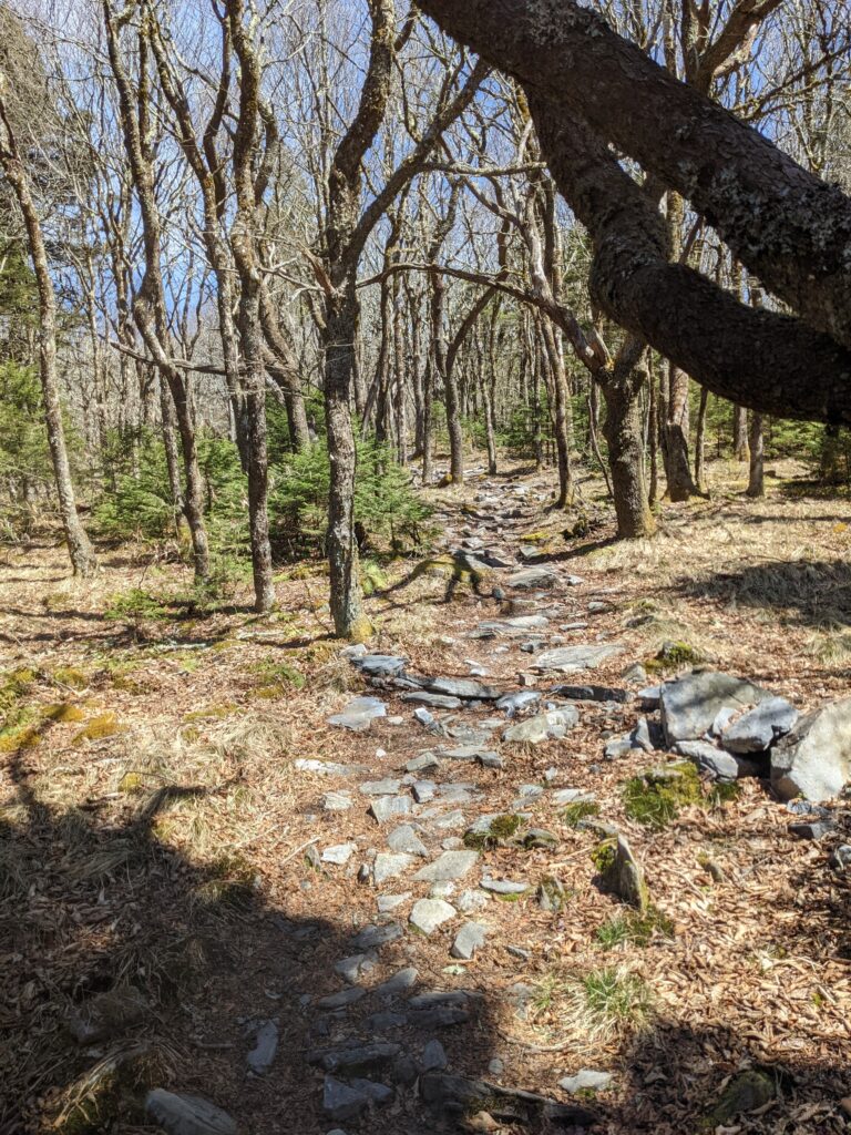
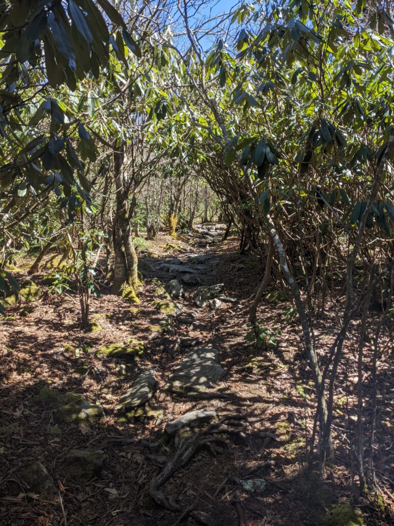
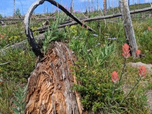
Now that I am finally here in the mountains of northeast Tennessee, I’ve been dying to get out on the trail. Not just a trail, the trail, the Appalachian Trail. So today I drove up to Beauty Spot and hiked the AT up to the summit of Unaka Mountain and back.
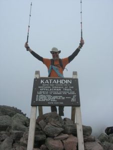
The last time I was here was on my thru-hike back in 2009. I was 13 years younger then, about 25 pounds lighter, and I had hiked 350 miles from Springer Mountain to get here. All that is my long-winded way to say, holy hell, these hills are getting steeper! To top it off, last week I kicked a piece of furniture in my bare feet and smashed one of my toes really well. In fact, I’m pretty sure I broke it. This is the first time since that I’ve walked more than a mile or so, and tonight it’s really throbbing, but I don’t care, it was worth it.
It was lovely being out on the trail. To my surprise, I saw very few other people. I met one woman coming down Unaka Mtn while I was going up, and not another soul until the last mile of so hiking back to Beauty Spot, when I passed a pretty steady stream of day hikers and weekend backpackers, all heading the other way.
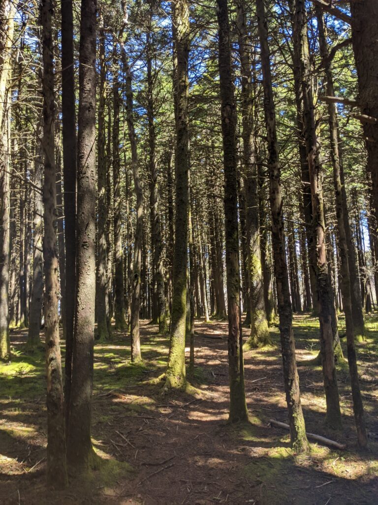
 I got up early this morning so I could hike up to Boulder Lake and back before it got too hot. The trailhead is at Himes Peak Campground, about 8 or so miles from here. From there I hiked up the Big Fish Trail about a mile and a quarter to the turn off for Boulder Lake.
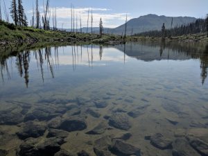 The Boulder Lake trail climbs the ridge to the west. Thankfully this is the West where trails have switchbacks, unlike Eastern trails that tend to go straight up the fall line.